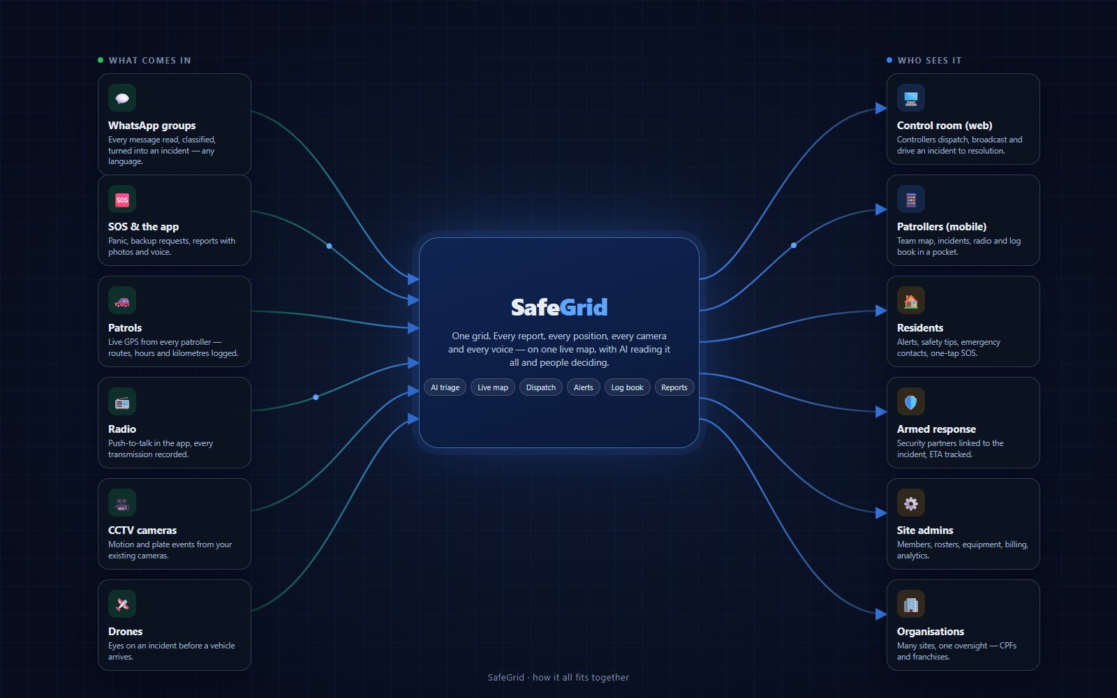
A neighbourhood produces safety information all day — a WhatsApp message, a panic button, a patroller driving past, a radio call, a camera trigger. SafeGrid collects all of it in one place, reads it, and puts the same live picture in front of everyone who needs to act. Here is the whole path.
What comes in
Six ways safety information reaches the grid
Nothing has to change about how your community already talks. SafeGrid listens where people already are.
💬
WhatsApp groups
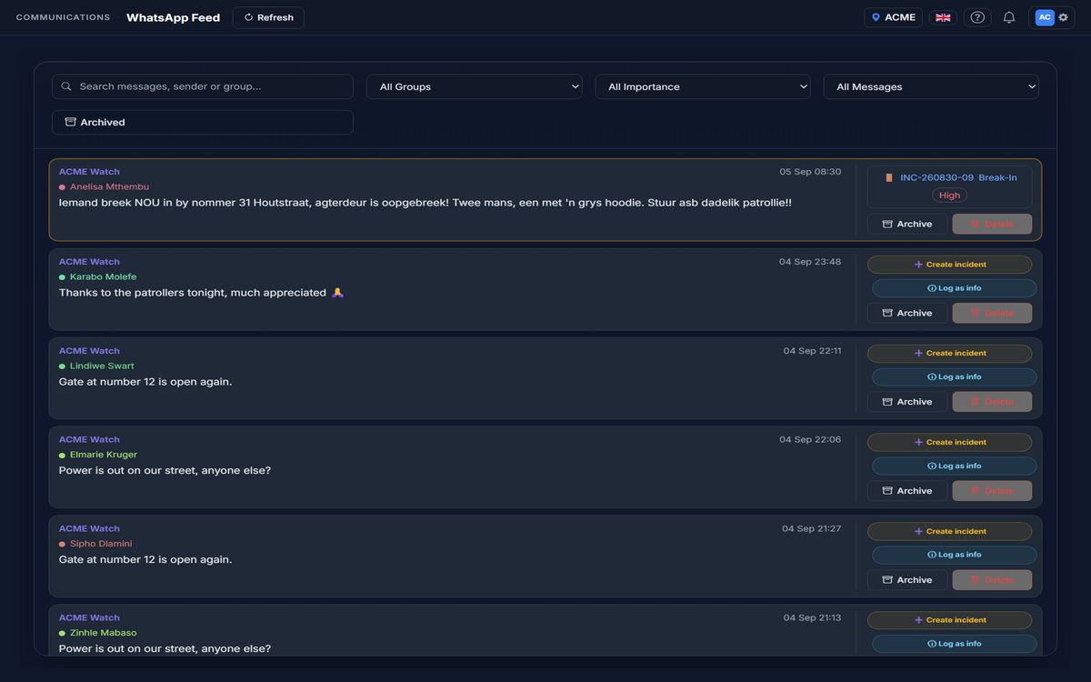
Your existing community groups become a reporting channel. Every message is read in the language it was written — English, Afrikaans, isiXhosa, isiZulu — classified, and, when it describes something happening, turned into an incident with a pin on the map. The reporter gets a reply in their own language with the case number. Chatter stays chatter.
🆘
SOS and the app
Residents and patrollers report from the app with a category, a photo, a voice note and their exact position. The SOS button and "request backup" reach the control room and the nearest patrollers immediately, with the phone’s location attached, and a resident’s panic always gets through regardless of notification settings.
🚗
Patrols
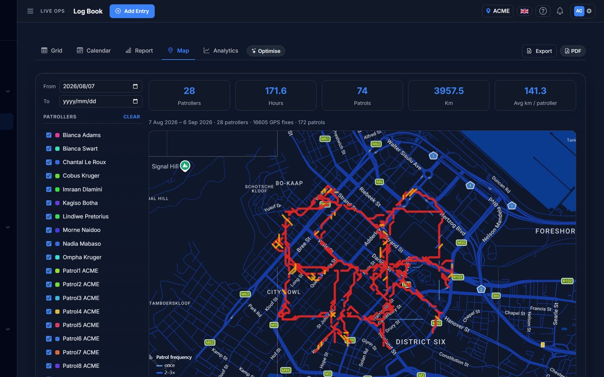
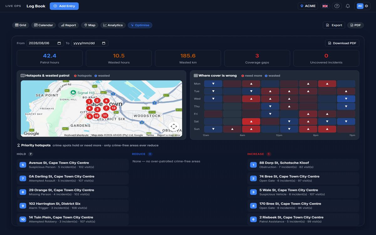
When a patroller goes on duty the app tracks the route. Every fix lands on the live map, and the shift writes itself into the log book — start, end, kilometres, vehicle — without anyone typing. The same fixes power patrol optimisation: where you patrol versus where crime happens.
📻
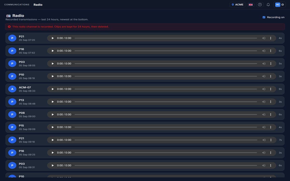
Radio
Push-to-talk is built into the app, so there is no second device and no third-party app. Transmissions can be recorded for 24 hours and replayed from the web, and the control room can turn any incident into a spoken AI bulletin and broadcast it to the channel.
🎥
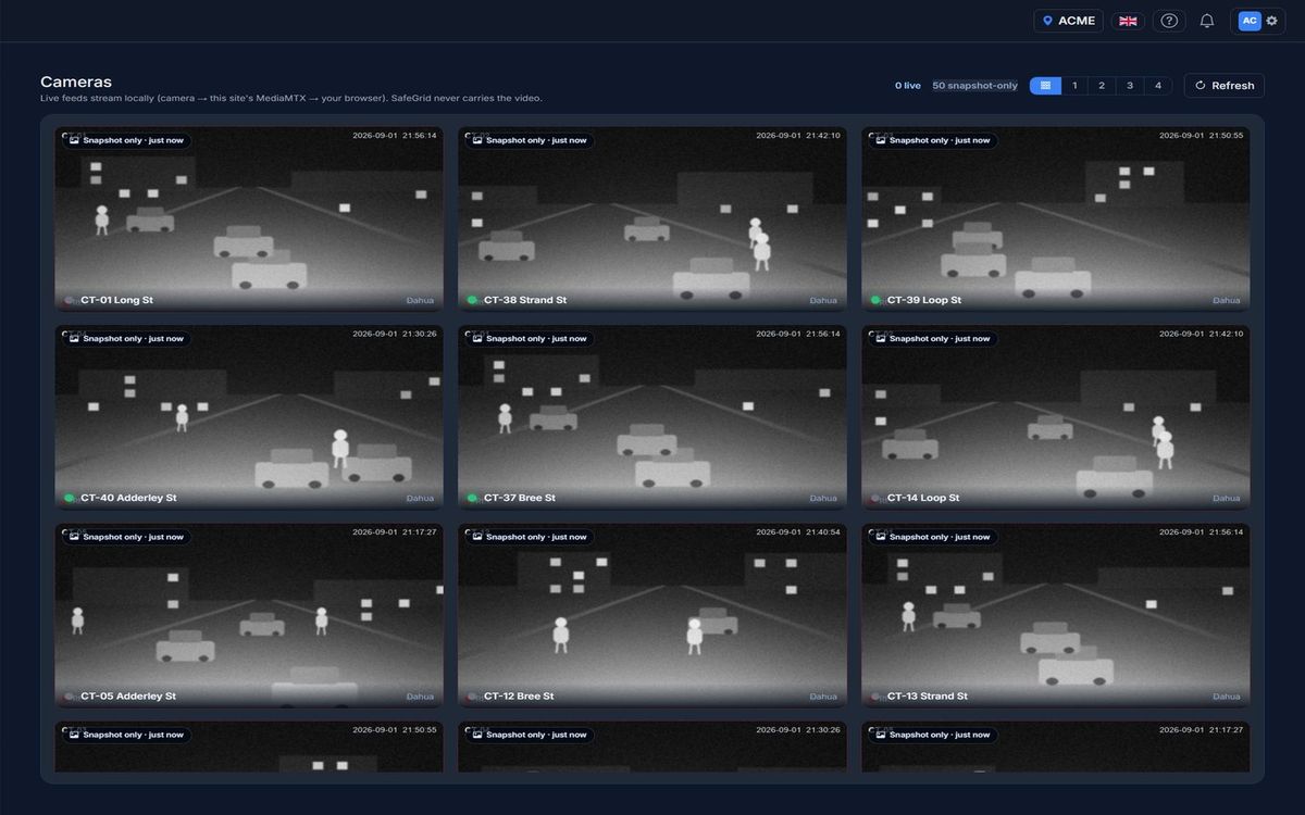
CCTV cameras
Your existing cameras plug in. Motion and licence-plate events arrive as camera events with the still attached, ready to become incidents; live tiles stay local to your network, never routed through the cloud.
🛩️
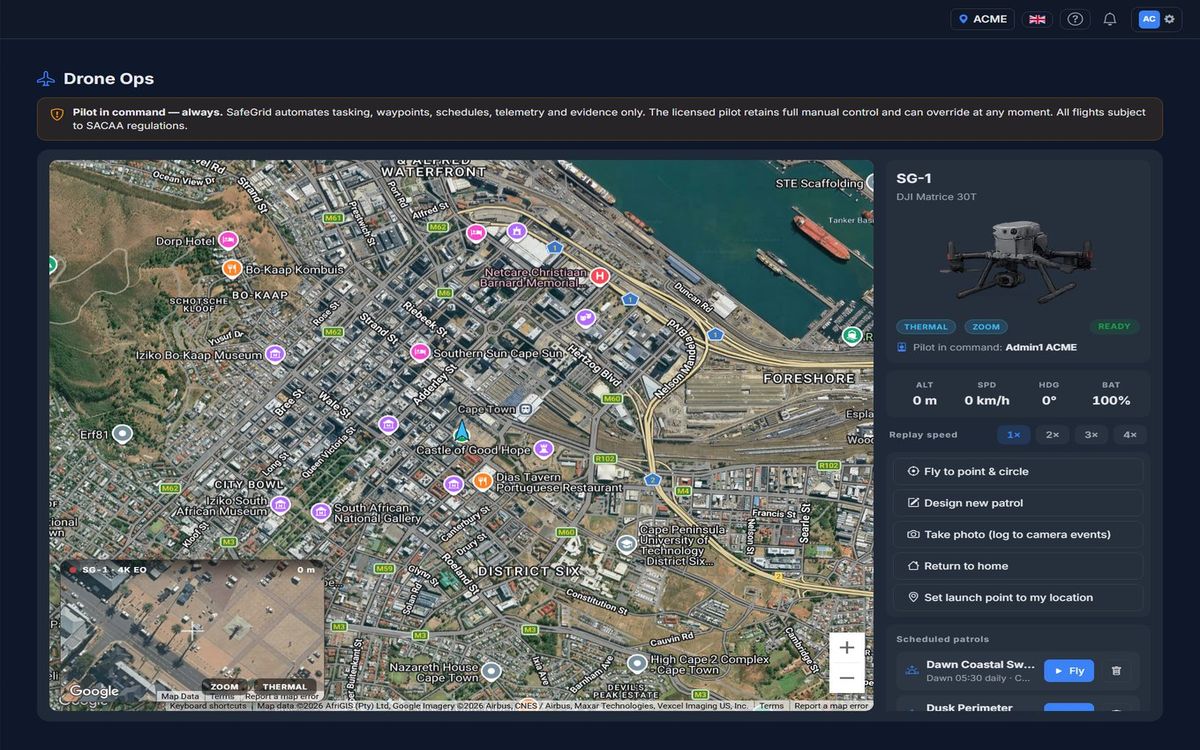
Drones
Launch, track and log drone flights from the drone ops screen and put eyes on an incident before a vehicle arrives. The licensed pilot always stays in command; SafeGrid handles tasking, telemetry and the evidence trail.
Inside the grid
What SafeGrid does with it
AI reads everything so people don’t have to. People make every decision that matters.
🤖
AI triage
Every report is read the moment it arrives: severity suggested, category set, details extracted, the address geocoded to a rooftop-accurate pin, likely false alarms flagged. It never dispatches on its own — it prepares the incident so a human can decide in seconds.
🗺️
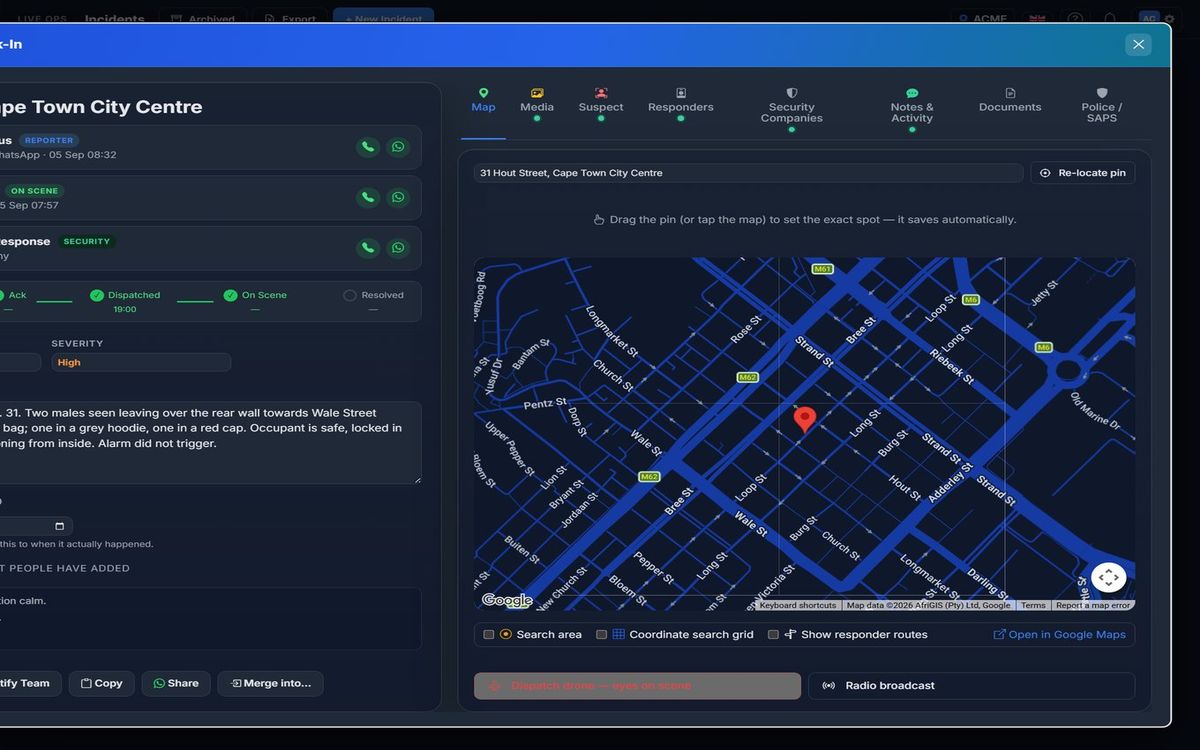
One live map
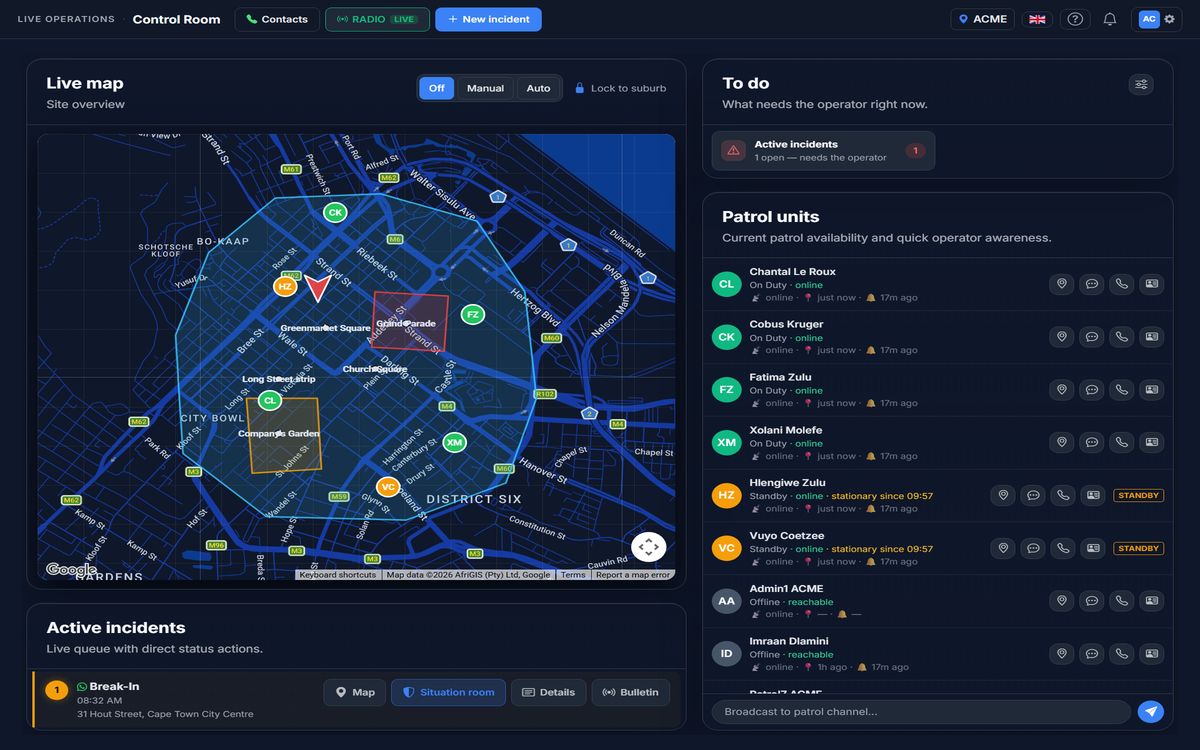
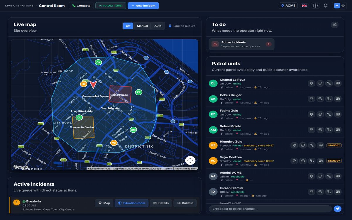
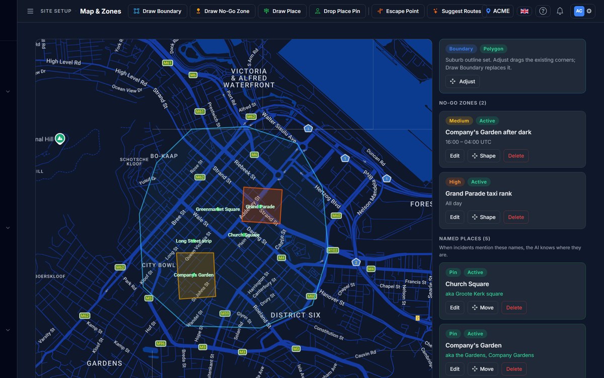
Incidents, patrol units, cameras, drones, your site boundary, named places and no-go zones on a single map. A patroller’s pin is green when the phone is reachable and drops off within minutes when it isn’t — the map never pretends.
📡
Dispatch and search
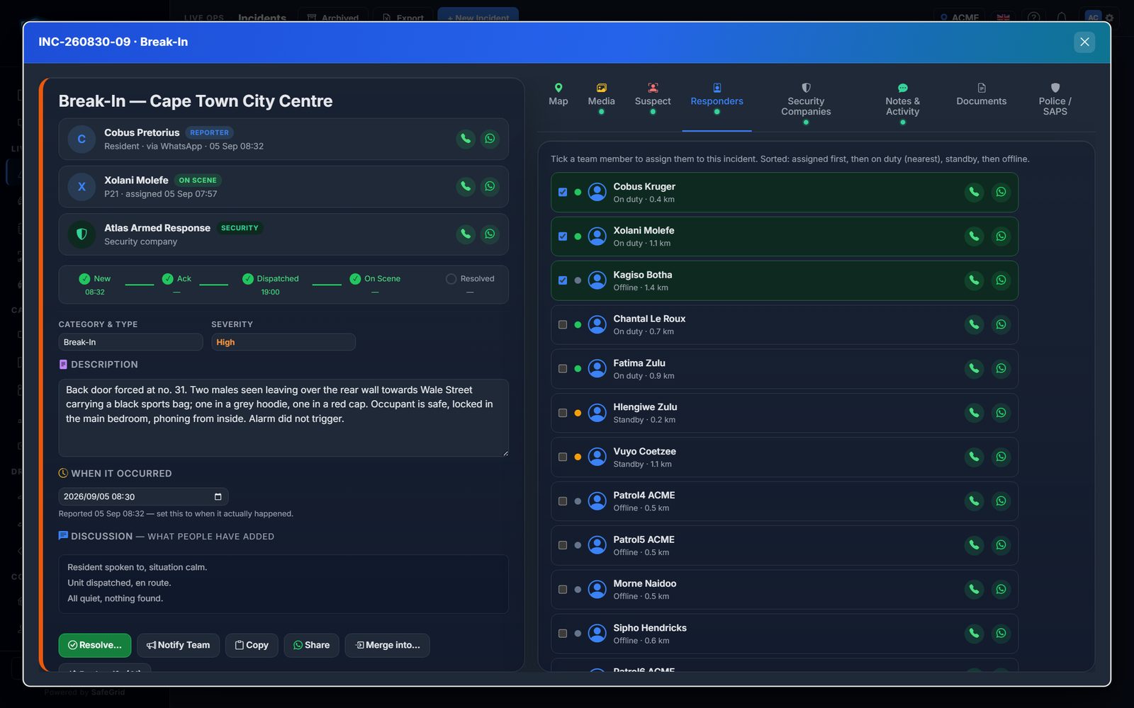
Assign responders and armed-response partners with one click, see their ETA and confirmations, and for a missing person or fleeing suspect draw a search area that assigns each responder a cell. Search areas are capped to the size of the site and expire on their own.
🔔
Alerts that reach people
Push to phones, WhatsApp replies to the reporter, radio bulletins to the channel and popups in the control room — each recipient gets the alert once, and a new critical incident always surfaces on top of whatever else is open.
📒
Log book and patrol optimisation
Hours, kilometres and routes are recorded automatically. Coverage is compared with incident hotspots so the committee sees, in one view, where cover is thin and where to hold.
📄
Reports
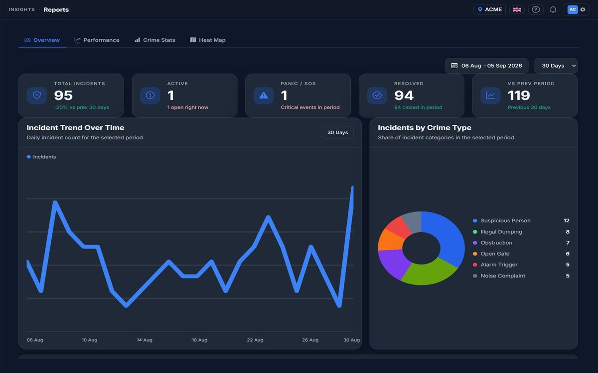
Monthly PDF site reports, AI-written summaries, crime-stat exports and area roll-ups across sites — statistics first, exportable, and consistent with what the dashboard shows.
Who sees it
The same picture, tailored to each role
One incident, one truth — presented the way each person needs it.
🖥️
Control room (web)
The controller’s console: live map, active incident queue, patrol units with reachability, radio, camera events and the situation room for driving an incident from first report to resolution.
📱
Patrollers (mobile)
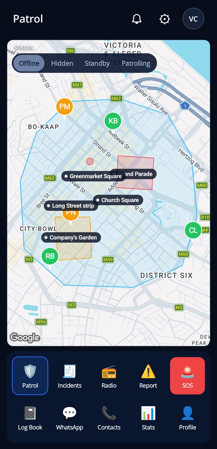
Team map with boundary, zones and places; incidents; radio; report and SOS; log book and stats — in a pocket, on Android and iOS, working offline-first.
🏠
Residents
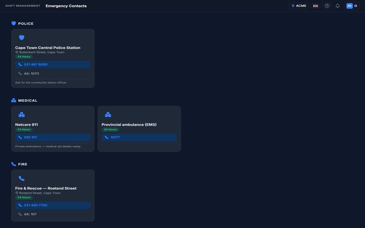
A simple app: alerts that matter, safety tips and no-go zones, emergency contacts with tap-to-call, one-tap SOS, and a WhatsApp group that now actually does something.
🛡️
Armed response and security partners
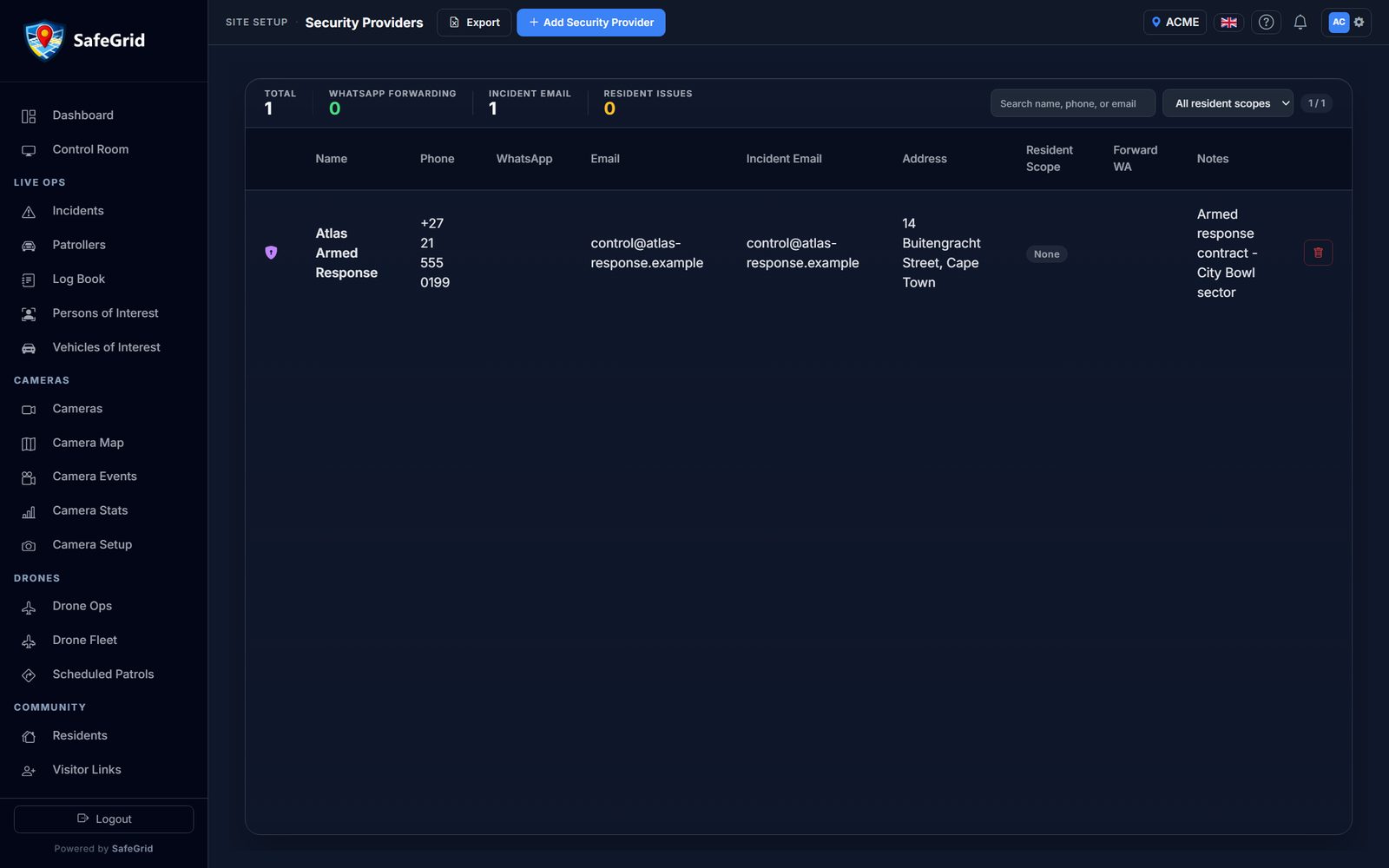
Linked to the incident with the details they need, their ETA and arrival tracked next to your own patrollers, and the option to receive incidents straight into their own WhatsApp line.
⚙️
Site admins
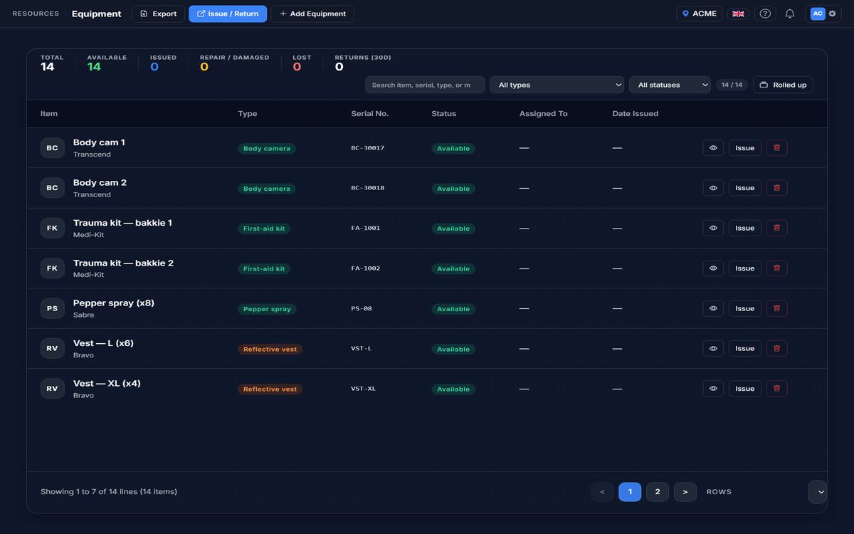
Members and roles, shifts and rosters, equipment and armoury registers, vehicles, ID cards, branding, billing and analytics — the running of the watch, in one place.
🏢
Organisations
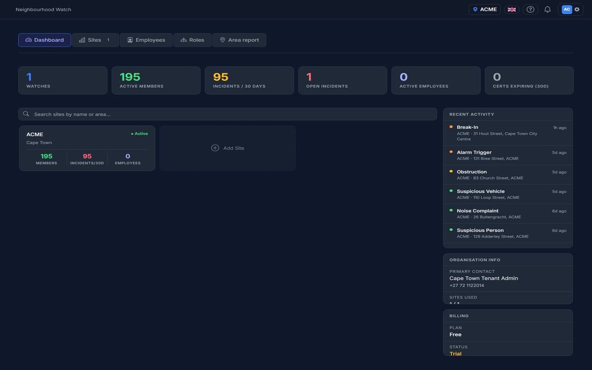
Community policing forums and security companies run many sites under one organisation: shared oversight, area reports and roles, with each site keeping its own data.
See it running on your own street
Three quick steps and your site is live. Free to begin.
 Showing this page in English.